Journey-aware replay
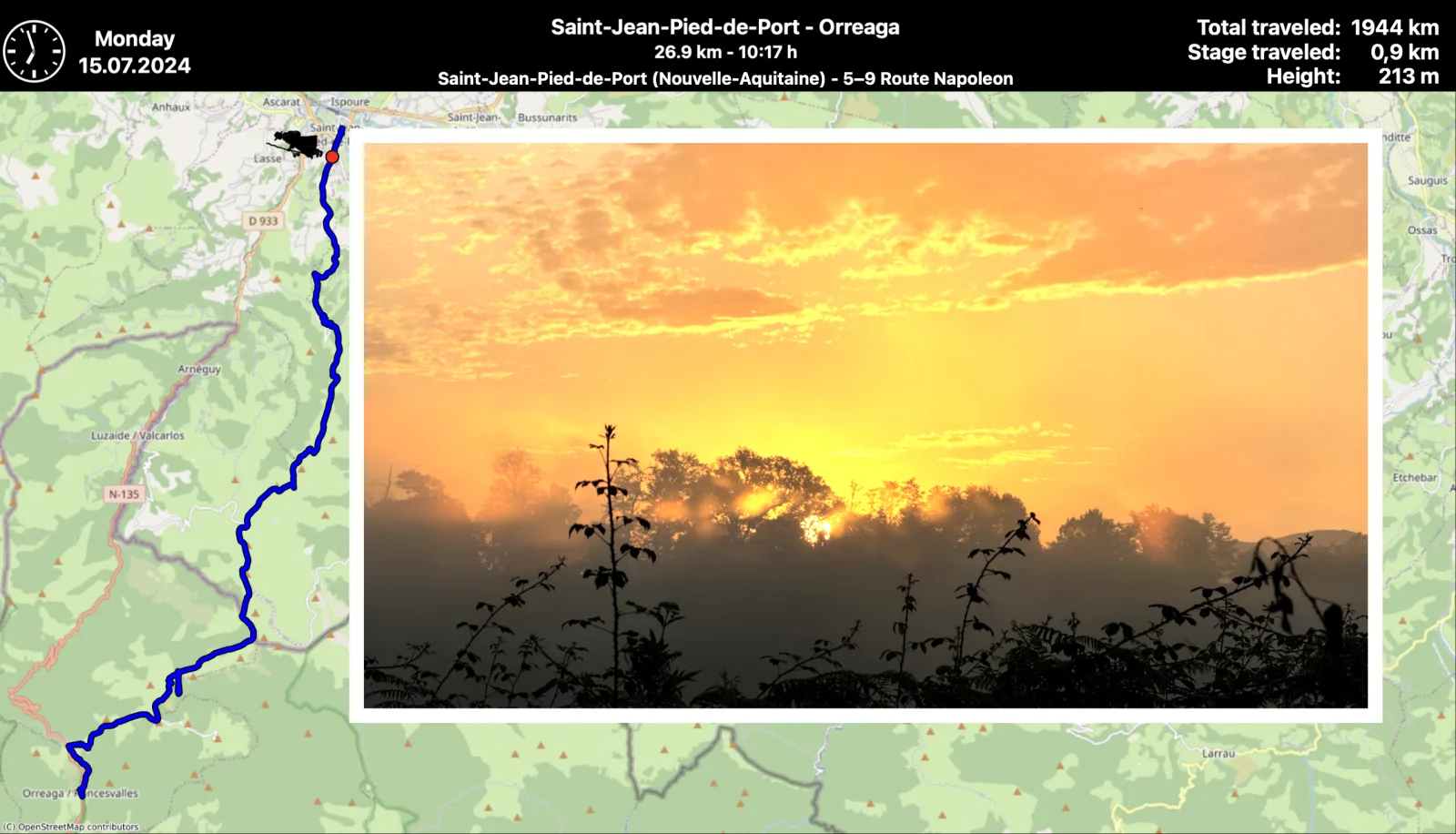
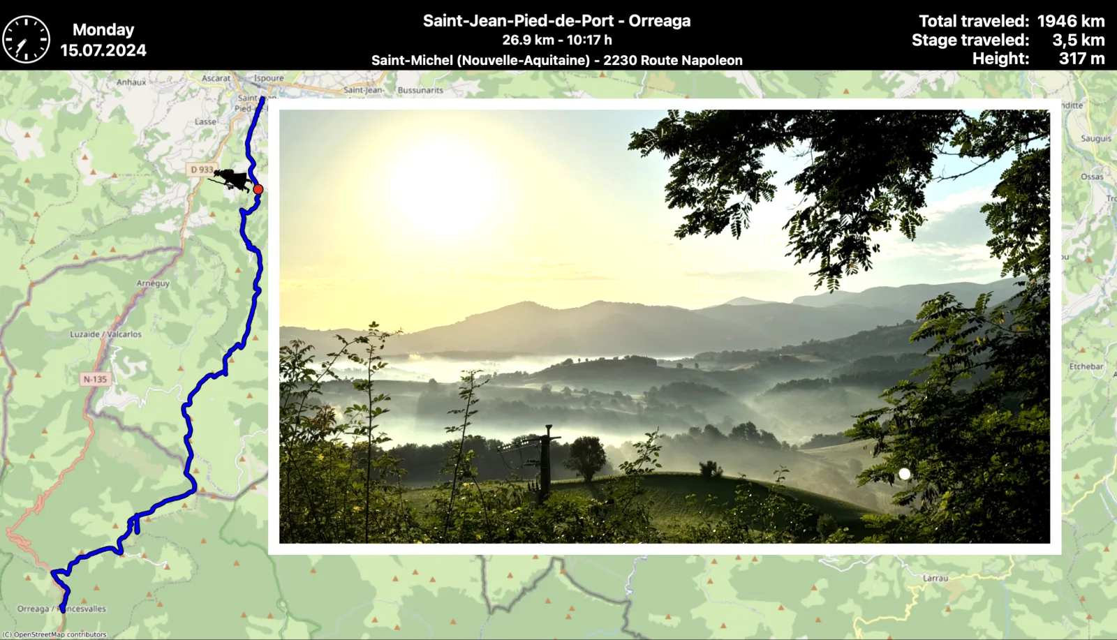
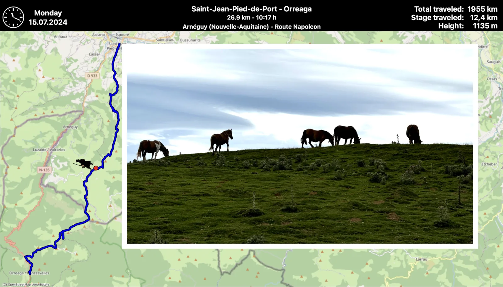
Combine GPX tracks with photographs and videos, then watch a moving time-lapse marker retrace each day on the map.
 myCaminoGPS SlideShow
Your trail. Your photographs. Your story.
myCamino turns the GPS trail and precious photographs from a multi-day adventure into a vivid, animated slide show.
Apple Silicon Mac · Unsigned beta · Free under GPL-3.0-or-later · Read the required installation steps
Built for the serious backpacker
Reconnect every stage, summit, village and quiet hour. myCamino matches your media to the journey, draws it over OpenStreetMap and lets time move along the trail again.
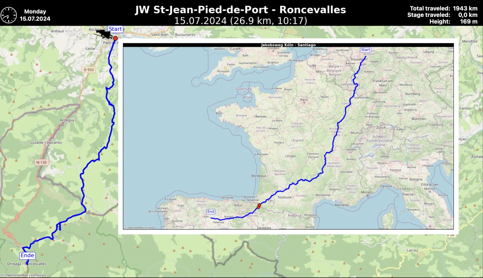
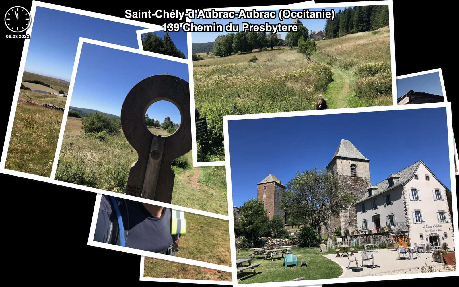
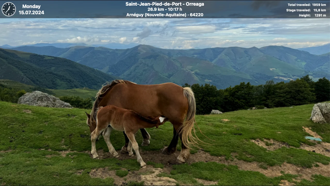
Combine GPX tracks with photographs and videos, then watch a moving time-lapse marker retrace each day on the map.
Let the assistant prepare metadata, maps and stages—then rearrange files, music, tracks and timing until the story is yours.
Inspect, reorder, split, join, smooth, correct and export tracks in the included native GPX Editor.

Maps meet memories
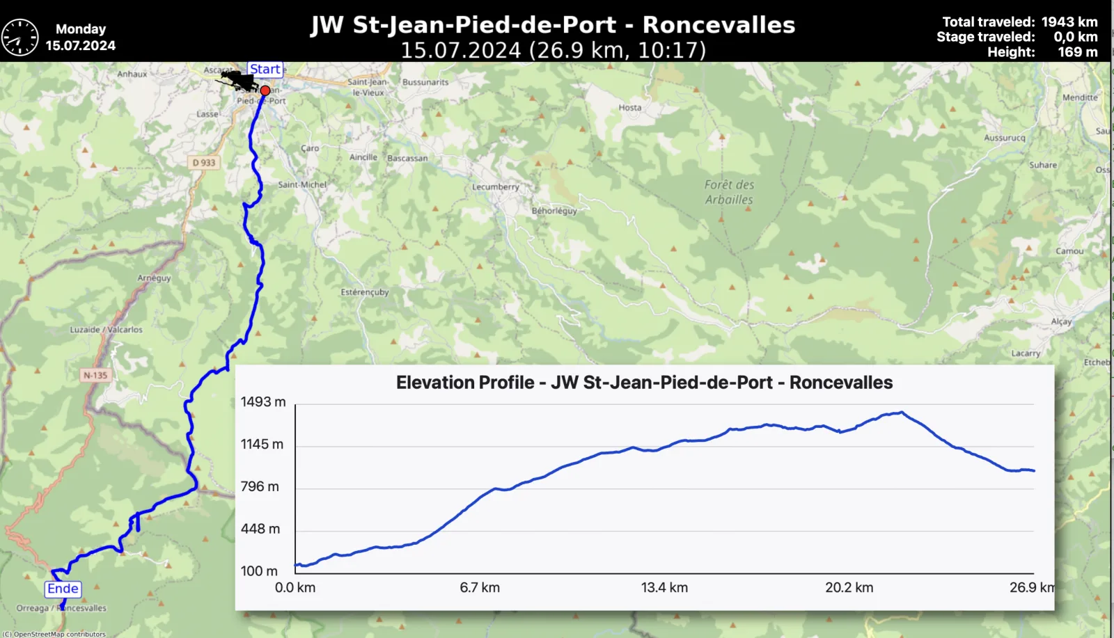
Stage maps, tour overviews, elevation profiles and media locations create the geographic spine of the show. Standard and Time-Lapse presentations remain under your control throughout.
Power when you need it
The standalone myCamino GPX Editor turns scattered recordings into a coherent adventure. Keep the original geometry safe while inspecting details and creating the route the slide show should follow.
Read the GPX Editor guide →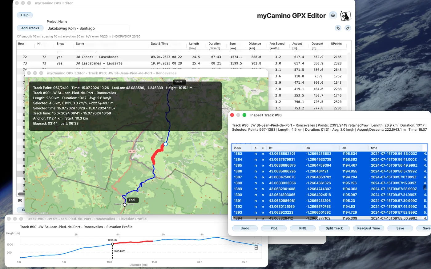
Why I made myCamino
Walking the Camino over 2,300 km, over five years, and having taken thousands of pictures and over a hundred GPS tracks, I was looking for a program to display maps, tracks, and pictures together. The slick commercial products I found weren’t up to the job, and with time I couldn’t remember where pictures were taken and when. So I never watched my pictures.
As a physicist and someone with over 40 years of experience in computer programming, I thought I had to do it myself. The opportunity arose when I started a little experiment in AI-assisted programming. For my own education and research, I wanted to find out whether it worked. It did—and the little weekend experiment grew bigger and bigger, taking more weekends, but in the end I got what I wanted.
Now I am happy to leave it to others to use and enjoy for free. Please note that this program is in a testing phase. It comes with no warranty or promises. You can help the community make it better by letting me know when you find an error. I have tested it a lot, but there are probably still many undetected bugs. Try it, and let me know whether it was useful.
Free as the trail
myCamino is free to use, study, modify and redistribute under GPL-3.0-or-later. Each release DMG includes the corresponding myCamino source, FFmpeg source information and third-party notices.